
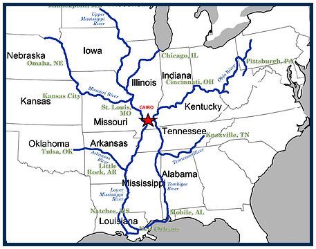
However, all of the runoff will eventually end up in the Mississippi and Ohio rivers, which were already at minor flood stage in places before the rain arrived.
The Missisippi at Cape Girardeau is now forecast to rise from minor flooding to moderate flood stage by midweek, after southeast Missouri received 5 inches of rain over several counties. On Saturday, the river at downtown Cape was at 30.4 feet; it is expected to crest at 39 feet by Wednesday before it starts to fall.
The Ohio River at Paducah was at 39 feet in minor flood stage on Saturday, and is forecast to rise to 42 feet by next Friday. The counties flanking the Ohio in Kentucky, Illinois and Indiana saw relatively lighter rainfall of 2 to 3 inches.
Other updated forecasts show similar rising waters on tributaries upstream on both rivers.
On the Net:
Paducah Weather Service webpage

.jpg)
.jpg)