
A potential hurricane is strengthening near New Orleans, and its future remnants are already anticipated to be heading our way next week with multiple inches of rain.
The Hurricane Forecast Center says Tropical Storm Barry formed in the Gulf of Mexico Thursday morning, and has a good chance to strengthen further and become a hurricane by Saturday. The hurricane would present a danger to Louisiana, and particularly New Orleans, with a possible 12 to 20 inches of rain and life threatening flooding. As it moves inland, it would also ramp up the potential for more flooding along the already swollen Mississippi River.
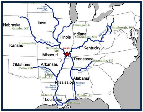
Computer models that predict the life of the hurricane already indicate that once the storm moves inland, it will continue north and follow the Mississippi River to Arkansas, Tennessee, much of Missouri, western Kentucky and southern Illinois.
Its arrival here by Monday and Tuesday could include 4-6 inches of rain for the Missouri Bootheel. Far western Kentucky and southern Illinois show a 2-4 inch rain in the latest computer model (attached to this story.)
High winds in our region do not seem to be a concern so far in the computer simulations.
Advertisement
Hurricane Remnants Could Be Here Next Week
Advertisement
Latest Southern Illinois
Southern Illinois
May. 10, 2021

Southern Illinois
Apr. 27, 2021

Southern Illinois
Apr. 27, 2021
Southern Illinois
Mar. 15, 2021
.jpg)
Southern Illinois
Mar. 15, 2021
.jpg)
ADVERTISEMENT
Most Read >
ADVERTISEMENT
Latest Southern Illinois
Southern Illinois
May. 10, 2021
Southern Illinois
Apr. 27, 2021
Southern Illinois
Apr. 27, 2021
Southern Illinois
Mar. 15, 2021
Southern Illinois
Mar. 15, 2021
Advertisement
ADVERTISEMENT