
In their first-ever live stream on YouTube Tuesday afternoon, Warning Coordination Meteorologist Rick Shanklin of the National Weather Service said there is a "significant risk of severe weather across the region, especially late tonight, which is of great concern." He said most fatalities during tornadoes come during overnight hours.
A large area covered by the Paducah NWS office is under a moderate risk (level 4 out of 5) for severe weather, and the rest of the area is under a slight to enhanced risk. Shanklin said a moderate risk is only seen about four times a year in this area, and the risk area is considerably large this time, so he encouraged everyone to pay close attention to weather conditions tonight.
As shown in the accompanying chart, conditions could produce long-lived, intense widespread severe storms, possibly including strong tornadoes (EF-2 or EF-3), widespread wind damage, and destructive hail with a diameter of 2 inches or more.
Meteorologist Chris Noles said the storms could be moving as fast as 50-60 miles per hour as they pass through the area. Noles said if a warning is issued, don't wait for visual confirmation of a tornado, because there may not be sufficient time to take cover.
"I anticipate that many of the warnings will only be 30 minutes long, and then you're gonna need to put out another warning upstream or downstream. These are going to be fast movers, so when you hear the warning you need to react, because it can be on you very, very quickly," Noles said.
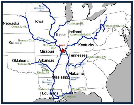
In the evening hours some cells could develop as the system moves out of Arkansas and the Ozarks region of Missouri into the boot heel and southern Illinois, continuing eastward into western Kentucky by around 7-9 pm.
Overnight, between midnight and 6 am, there could be multiple cells with the main part of the storm front moving through the area.
Original Story (10:00 am):
On the Net:
Paducah Weather Service webpagePaducah Weather Service Facebook page


.jpg)
.jpg)